
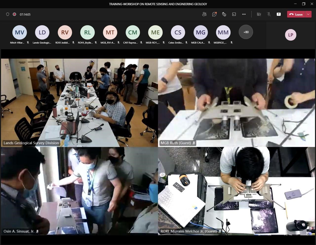
With the continuing efforts of MGB to capacitate its geologists, the Geohazards and Engineering Geology Section (GhEGS) of the Lands Geological Survey Division (LGSD) conducted a five-day “Training-Workshop on Remote Sensing and Engineering Geology: Bridging Technologies and Geological Disciplines for an Excellent and Sustainable Geohazard Assessment” from February 28 to March 4, 2022 via Microsoft Teams virtual platform. Mandated to implement the National Geohazard Assessment and Mapping Program (NGAMP) and to review Engineering Geological and Geohazard Assessment Reports (EGGAR) as pursuant to the Department of Environment and Natural Resources Administrative Order 2000-28, it is imperative that MGB Geologists strengthen their capacity in the fields of Engineering Geology and Remote Sensing, which are integral in undertaking the said activities. With this objective, seventy-five (75) Geologists, GIS Specialists, and Engineers from both the MGB Central and Regional offices, who are primarily tasked to carry-out the said programs, participated in interactive discussions with the invited speakers and in other activities of the workshop.
Lectures were focused on the following, namely, (1) Fundamentals on Hillslope and Fluvial Geomorphology by Ms. Arlene E. Dayao of MGB-V, (2) Interpretation of Remotely-Sensed Data by Dr. Ariel C. Blanco, Engr. Serafin Meneses and Engr. Roel Dela Cruz of Philippine Space Agency, (3) Review on the EGGAR, Principles of Structural Geology and Engineering Geology by Dr. Ramon D. Quebral, of AMH Philippines Inc., (4) Seismic and Volcanic Hazard Components of EGGAR by Dr. Arturo S. Daag and Mr. John Harold Tabuzo of PHIVOLCS and (5) Applications of Engineering Geological Techniques in Disaster Risk Reduction by Mr. Juanito A. Manzano, Jr., of CMA Geoconstruct Engineering Consultancy. Pre-tests, hands-on exercises, and post-tests were conducted in order to assess the understanding and learnings of the participants on the subject matter discussed by the resource speakers.
In the last part of the workshop, Mr. Alvin Fernando, the section chief presented the final agreements and ways forward for the projects and programs under the Geohazards and Engineering Geology Section. He also mentioned MGB’s plans for future collaborations with the Philippine Space Agency and additional refresher workshops tailored to the implementation of MGB’s NGAMP.
Finally, Ms. Liza Socorro J. Manzano, the Chief Geologist of LGSD, highlighted the practicality and convenience brought by remote sensing to geohazards and geological mapping, however, it cannot defy the importance of ground truthing. She also hoped for face-to-face training workshops for the geoscience programs in the future.
“The knowledge we acquired in this training is just the beginning, as we need years of practice to fully understand and apply geomorphology, remote sensing, and engineering geology in our line of work”, LGSD Chief said in conclusion to her closing message.
By: Geohazards and Engineering Geology Section, Lands Geological Survey Division
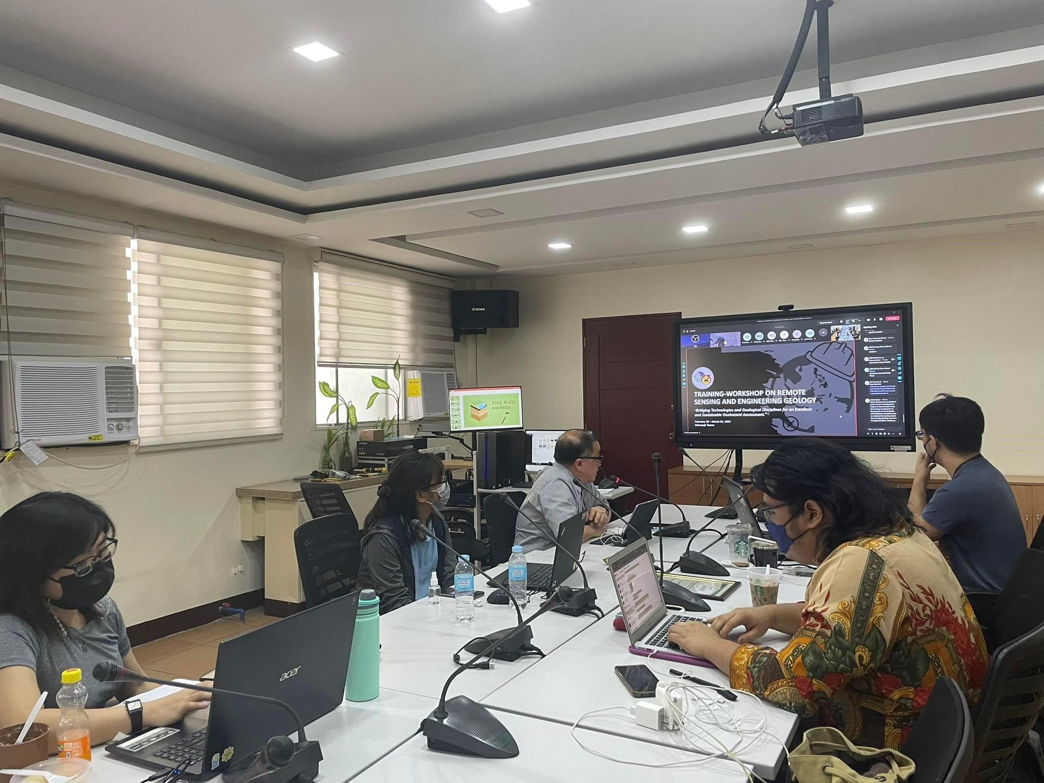
Figure 1. The Remote Sensing and Engineering Geology Training Workshop Steering Committee with the
GhEG Section Chief, Mr. Alvin M. Fernando.
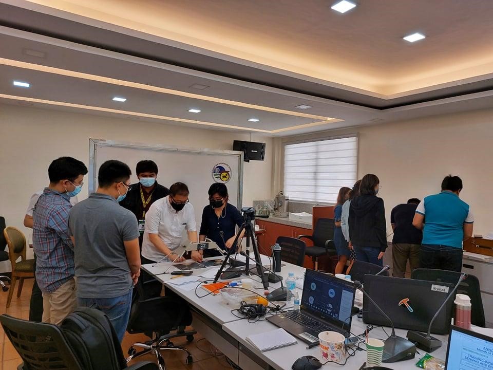
Figures 2a and 2b: Virtual and Live demonstrations on the interpretation of fluvial and marine landforms in
aerial photographs using the stereoscope on the first day of the workshop.
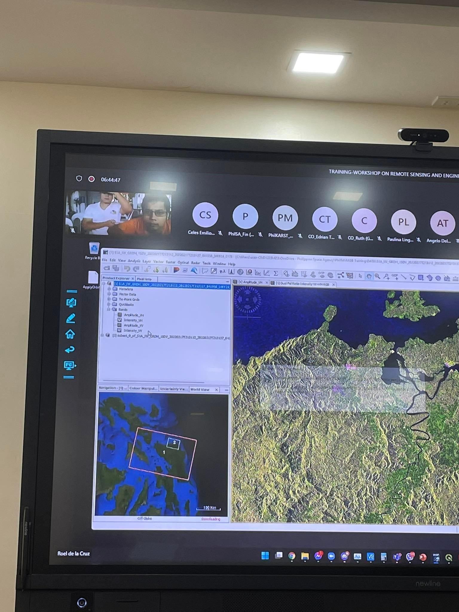
Figure 3: Discussion on the self-paced exercises for Remote Sensing and Geographic Information Systems
provided by the speakers from the Philippine Space Agency – Space Information Infrastructure Bureau.
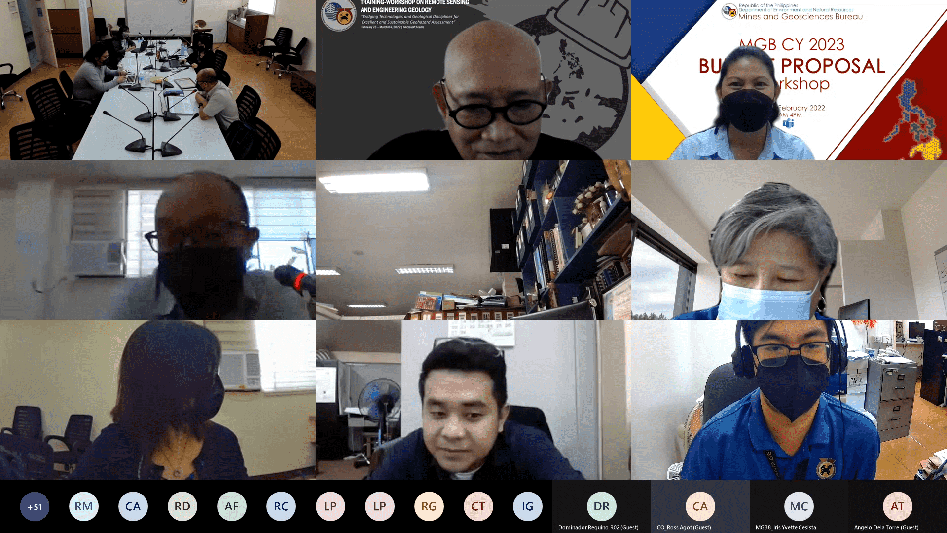
Figure 4. Dr. Ramon Quebral, a former geologist of MGB, shared his insights on the review of
Engineering Geological and Geohazard Assessment Reports (EGGAR).
Figure 5. Dr. Arturo S. Daag of Philippine Institute of Volcanology and Seismology (PHIVOLCS)
introduced the GeoRiskPH Initiative after his lecture on the Seismic and Volcanic Hazard Components of the
Engineering Geological and Geohazard Assessment Reports.
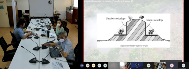
Figures 6a and 6b. Mr. Juanito A. Manzano Jr. shared his expertise in Landslide Stabilization and Mitigation
as part of the Applications of Engineering Geology in Post-Disaster Assessments.
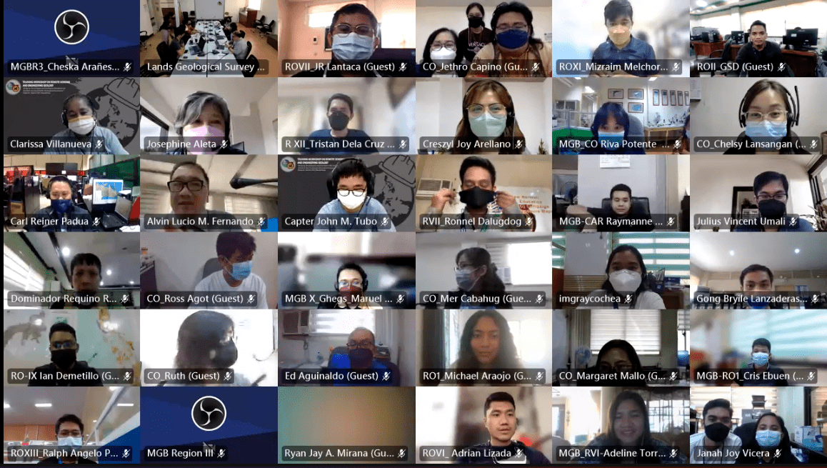
Figure 7. Photo opportunity of the participants with the LGSD Chief during the last day of the training-workshop.