
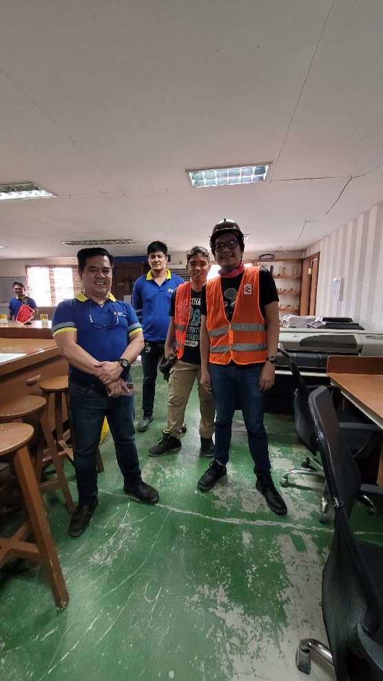
Two mining engineers from the Mining Technology Division of the Mines and Geosciences Bureau have completed research fieldwork intended to gather data for the development of a workflow for rapid slope stability assessment. The said activity was conducted in the active mining site of Carmen Copper Corporation in Toledo City, Cebu on May 15-19, 2023.
Their study, titled "Deterministic Analysis for Open Pit Slope Stability using Drone Photogrammetry and Geographic Information [GIS] System," aims to develop a drone- and GIS-based methodology to enable engineers to identify potential risk areas in open pit mines.
Traditionally, rock slope stability assessments have been time-consuming, relying on manual surveys and data collection methods. Moreover, geotechnical analyses are often limited to 2D idealizations. By integrating drone photogrammetry and GIS software processing, the researchers seek to enhance data collection, visualization, and analysis by using drones to produce accurate digital representations.
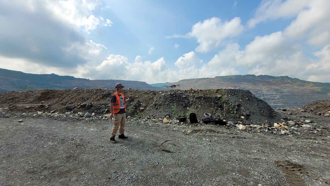
An advanced drone equipped with a high-resolution camera was used to capture detailed images of the mining slopes from various angles and elevations. These geolocated images can be used to generate realistic 3D point clouds and elevation models to which structural and kinematic analyses will be performed. Subsequent calculations may be implemented using specialized GIS software.
The researchers consider that the integration of advanced technologies in slope stability assessment, such as drone photogrammetry and GIS, could be instrumental to both regulators and mining companies to make informed decisions on safety and optimize surface mining operations.
By: Mining Technology Division