
The Mines and Geosciences Bureau (MGB) has recently achieved a significant milestone in its efforts to evaluate the nation's groundwater resources through the Hydrogeology and Environmental Geology Section (HEGS) of the Lands Geological Survey Division (LGSD). A team from HEGS conducted an extensive Groundwater Resource Assessment in Iriga City (Fig. 1) from May 10 to 24, 2024. This achievement is part of the MGB's National Groundwater Resource and Vulnerability Assessment (GRVA) Activity.
This geoscientific fieldwork is a critical component of MGB's mission to produce detailed hydrogeologic maps with a city/municipal scale of 1:50,000 and technical reports. The GRVA team, composed of experts from various specializations, conducted the assessment. The team included Dr. Karlo L. Queaño, Chief of the Lands Geological Survey Division; Dr. Mel Anthony A. Casulla, Senior Geologist; Aeron Elvin C. Dela Cruz, Geologist II; Lawrence Oliver D. Buduhan, Geologist II; Marywil Krystal L. Cabahug, Geologist; Christian Jan I. Alonzo, Geologist, and John Danirry L. Carpio, GIS Specialist.
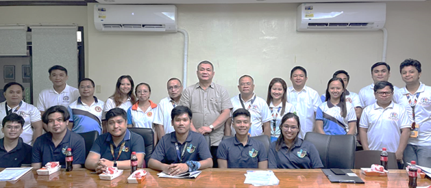
Figure 1. The MGB-HEGS team holds a courtesy meeting with Mayor Wilfredo Rex C. Oliva and representatives from the Iriga City Local Government Unit (LGU) prior to beginning the fieldwork proper.
The team employed systematic and standardized procedures for hydrogeologic mapping, data collection, and water sampling. Using advanced equipment such as geo-resistivity equipment and in-situ water quality kits, the team ensured a thorough and accurate assessment. This methodology incorporated various datasets and information, including geology, hydrogeology, and geophysics.
During the fieldwork, the team conducted a water point inventory and in-situ water quality testing on one hundred twelve (112) wells and springs to gather vital information on water sources. Twenty-nine (29) groundwater samples were collected and sent to MGB's geological laboratory for hydrochemical analysis. Additionally, fifteen (15) Electrical Resistivity Tomography (ERT) surveys were conducted to assess groundwater availability in different geological formations and estimate the thickness of potential aquifers (Fig. 2).
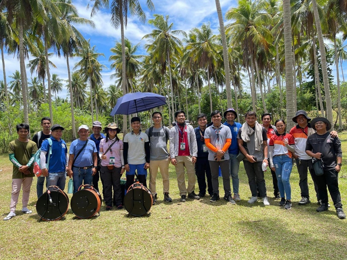
Figure 2: The Groundwater Resource Assessment Team during the conduct of hydrogeological and geophysical surveys alongside the Planning and Engineering Offices of the Iriga City LGU.
The preliminary results of the groundwater resource assessment were presented to the Iriga City LGU after the completion of the fieldwork (Fig. 3). A major discovery was that most groundwater sources tap into the Iriga Volcanic Pyroclastic aquifer. This aquifer, primarily composed of tuff and volcanic breccia, covers the western and southern parts of the city. Its high porosity and permeability make it an excellent medium for water infiltration from precipitation and surface runoff from Mt. Asog (Mt. Iriga), indicating significant potential for groundwater storage.
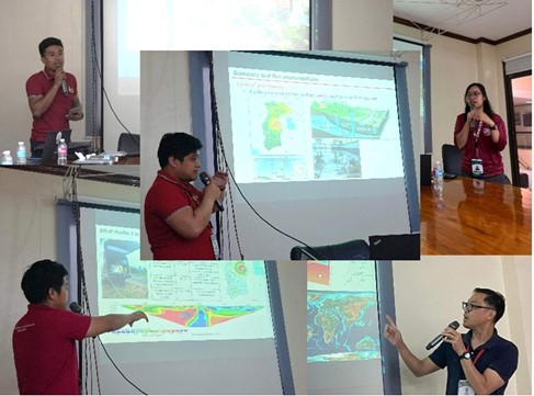
Figure 3: The Groundwater Resource Assessment Team conducting an exit conference, a form of Information Education Campaign (IEC), to discuss the preliminary results of the groundwater assessment with the Iriga City LGU, water district, and other stakeholders.
The fieldwork is expected to significantly enhance the sustainable management of groundwater resources. The detailed hydrogeologic maps and technical reports generated from this assessment will aid local government units and water districts in their efforts to manage and protect groundwater resources effectively.Furthermore, the development and maintenance of a comprehensive groundwater resource database will facilitate more informed decision-making and planning. This database is particularly crucial for climate change adaptation and water resource management, ensuring the long-term sustainability of groundwater resources.
The MGB remains steadfast in its commitment in conducting science-based assessments to ensure the sustainable use and protection of the Philippines' groundwater resources, benefiting both current and future generations.
By: Lands Geological Survey Divsion