
An online orientation on the Mines and Geosciences Bureau’s (MGB) Mine Safety, Environment, and Social Development Division (MSESDD) Geospatial Database System was conducted on February 19, 2025, at the Lands Geological Survey Division (LGSD) Conference Room.
79 MSESDD personnel from all MGB Regional Offices (ROs) attended the orientation, which was centered on using ArcGIS Pro, via Microsoft Teams.
This initiative forms part of MGB MSESDD’s ongoing efforts to respond to the Department of Environment and Natural Resources (DENR) directive to establish a comprehensive MGB Geospatial Database System.
In collaboration with the LGSD, the orientation aimed to equip MSESDD personnel in the Regional Offices with the necessary skills to utilize ArcGIS Pro for the efficient management and loading of datasets from Contractors/Permit Holders/ Permittees. These datasets predominantly pertain to the companies’ accomplishments and compliance with Safety and Health, Environment, and Social Development (SHES) Management regulations. Through live demonstrations, participants were guided in the seamless importation, processing, and analysis of this critical data towards its precise integration into MGB’s Geospatial Database System.
This successful orientation represents a significant advancement in enhancing MGB’s data management systems and fulfilling DENR’s directive to establish a geospatial framework that will enable more informed decision-making in the mining sector, particularly in monitoring compliance and promoting responsible mining.
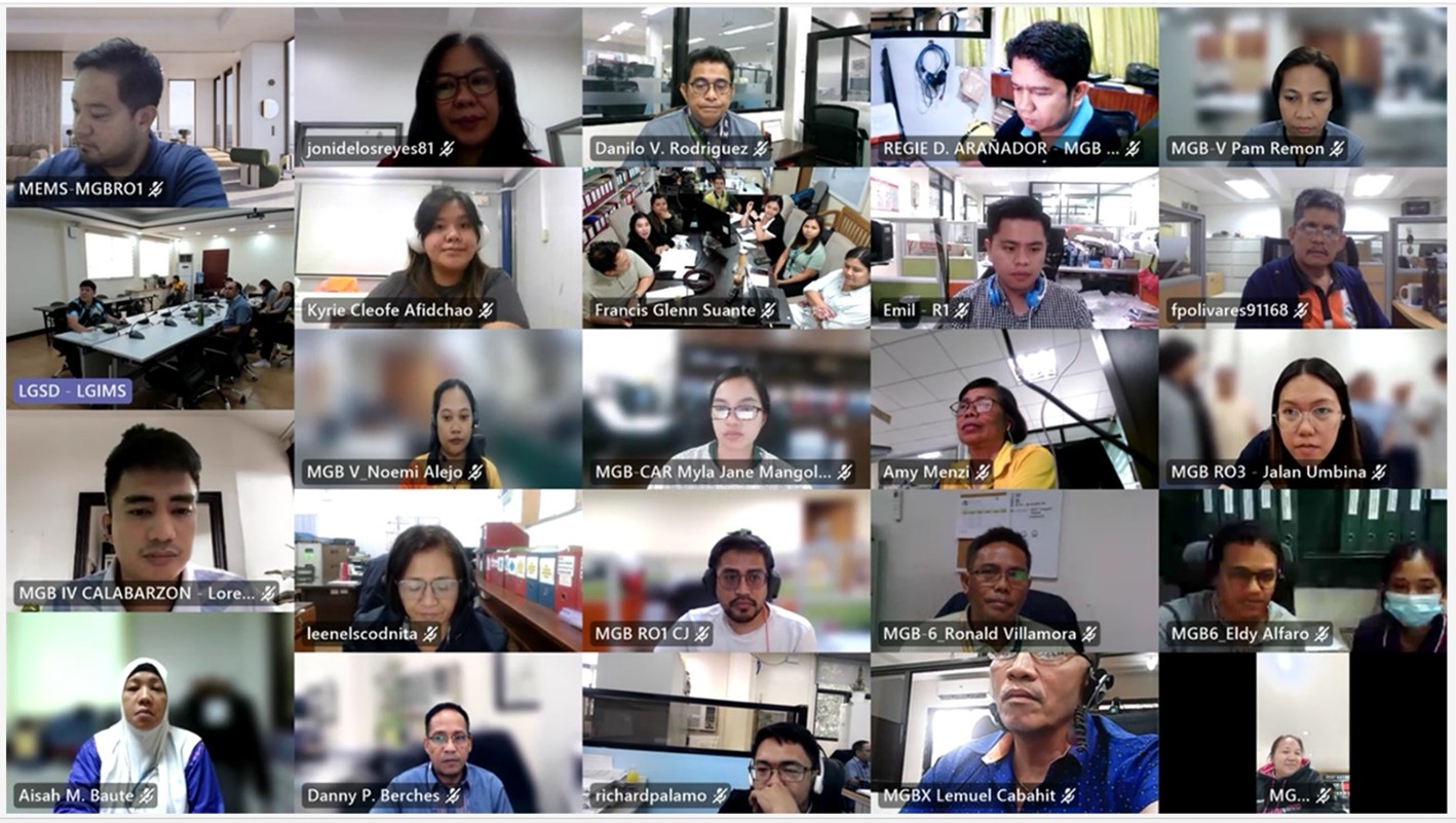
MSESDD personnel attending the Online Orientation on the MGB-MSESDD Geospatial Database System using ArcGIS Pro via MS Teams
By: Mine Safety, Environment, and Social Development Division