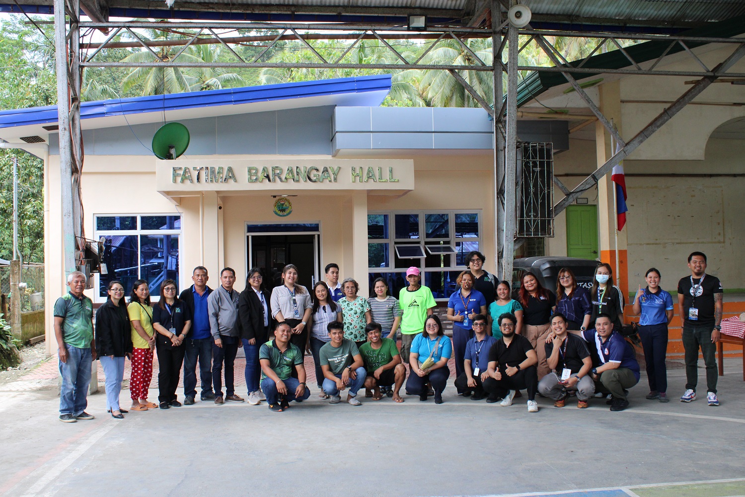
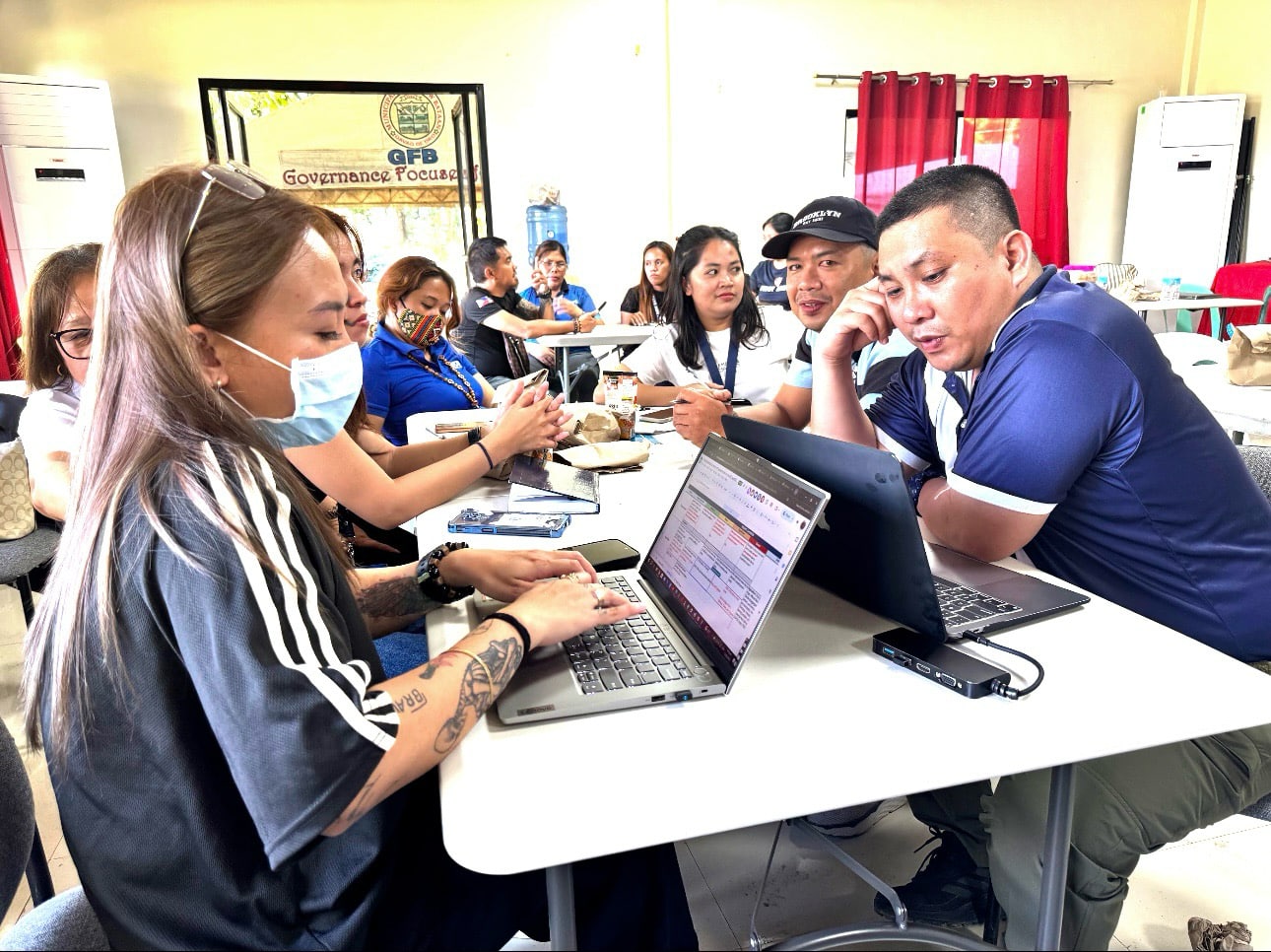
The Workshop on the Development of Localized National Impact and Response Tables for Anticipatory Action, organized by the United Nations World Food Programme (UNWFP), was conducted in New Bataan, Davao de Oro last March 10-14, 2025.
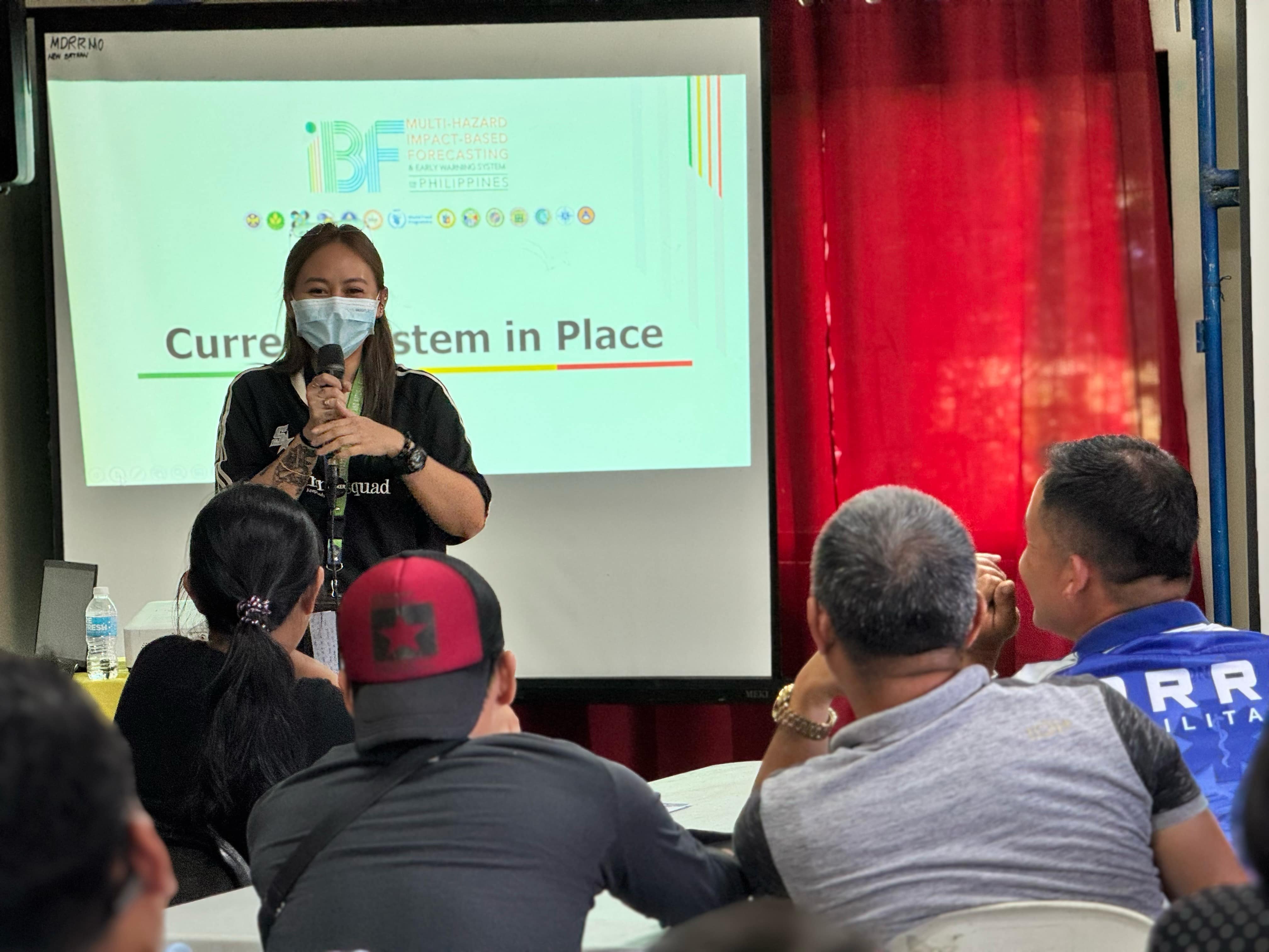
This initiative is part of the broader Multi-Hazard Impact-Based Forecasting and Early Warning System (MH-IBF-EWS) project aimed at mitigating risks associated with natural disasters such as landslides and debris flows. By developing localized impact and response tables, WFP seeks to tailor anticipatory actions to specific community needs, thereby improving resilience against climate shocks.
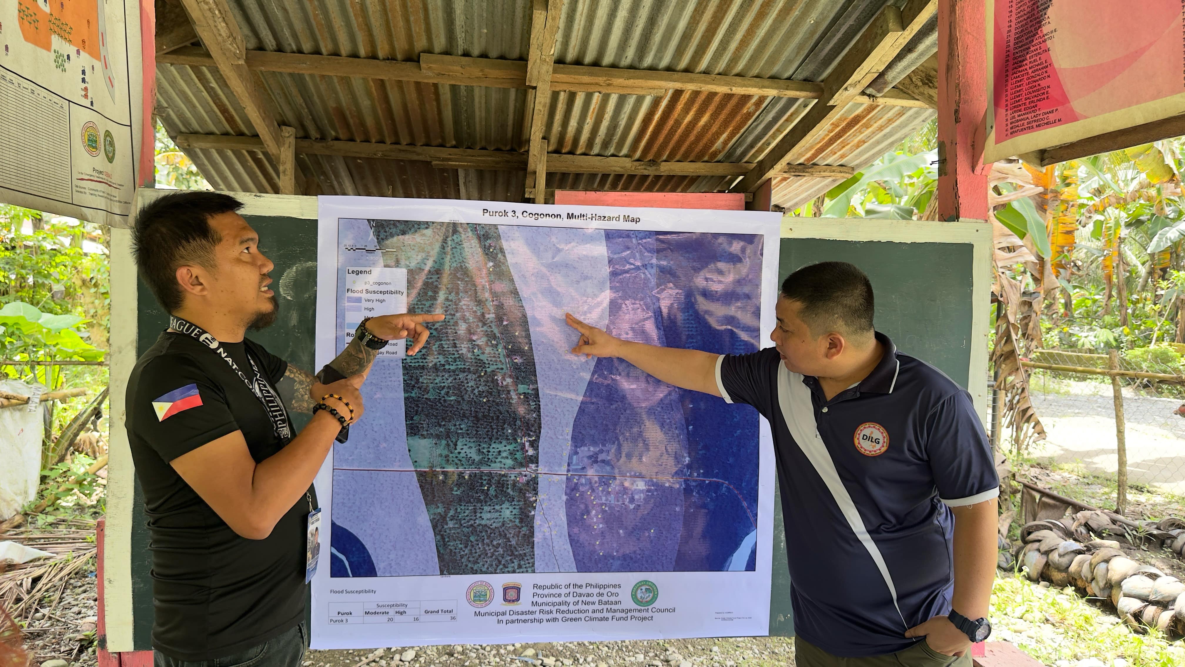
It aimed at gathering insights from Local Government Units (LGUs) regarding the impacts of past natural hazards and their corresponding responses serves as a pivotal step in enhancing disaster preparedness in the Philippines. The insights collected from LGUs were instrumental in validating and localizing the national impact and response tables, thereby ensuring that strategies are grounded in local realities. This collaborative approach underscores the importance of integrating localized knowledge into broader national frameworks to foster resilience against future disasters.
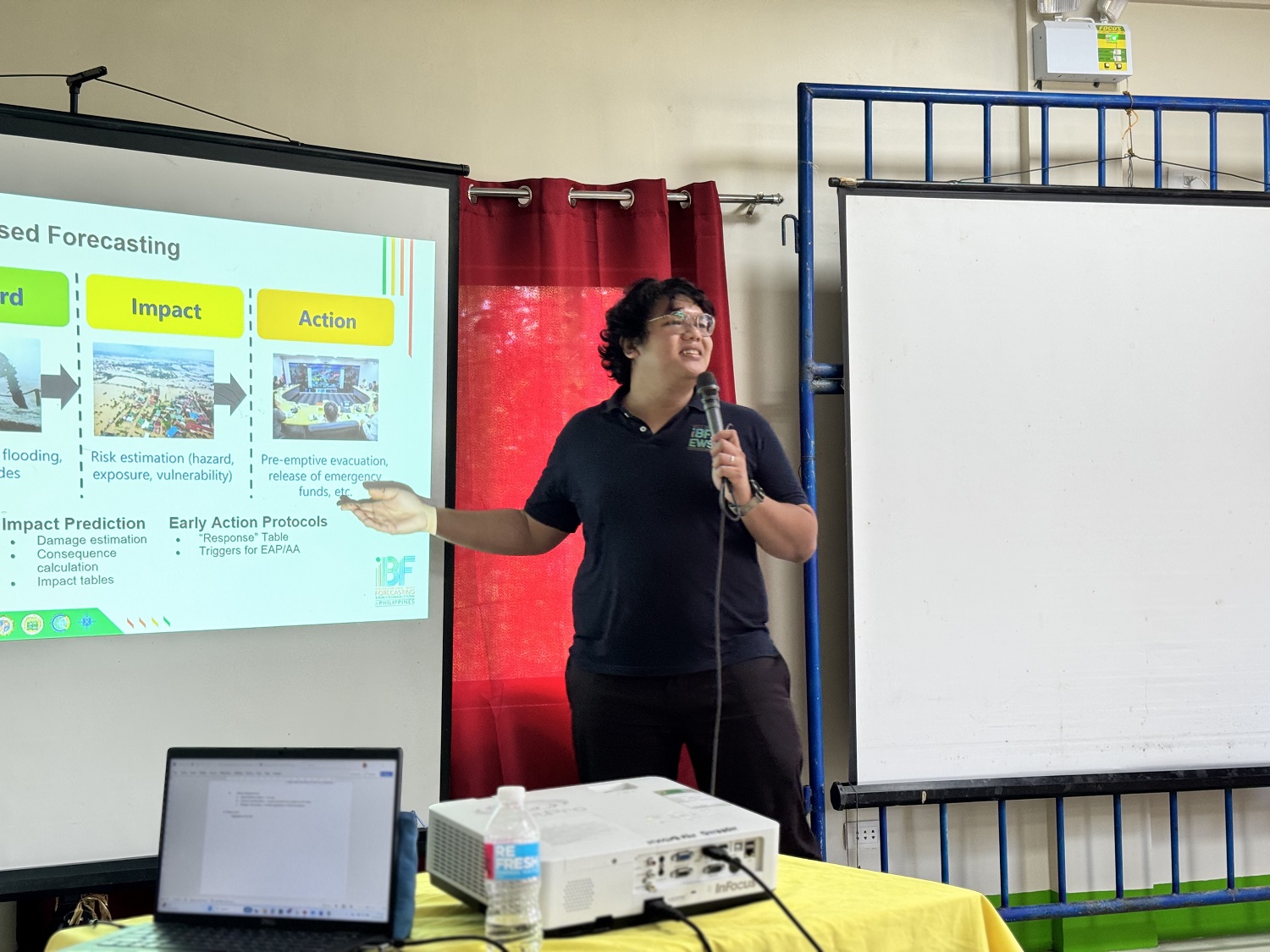
During the said workshop, potential anticipatory actions and their corresponding triggers were also discussed, highlighting a proactive stance towards disaster management. The Mines and Geosciences Bureau (MGB), represented by Michelle Grace Angela E. Mendoza-Villarosa and Ace Matthew F. Cantillep, played a crucial role as a co-executing entity alongside other organizations such as the Philippine Atmospheric, Geophysical, and Astronomical Services Administration (PAGASA), the Department of Interior and Local Government (DILG), and the Office of Civil Defense (OCD). Such collaboration not only enriches the data pool but also enhances inter-agency coordination essential for effective crisis response.
A key highlight is its alignment with local governance through meetings with chief executives to synchronize disaster preparedness initiatives. Engaging community members facilitates an understanding of historical disasters while gleaning insights into local response strategies. Such consultations are crucial for identifying gaps in existing systems and fostering a culture of proactive risk management.
Furthermore, scenario-building exercises are integral to improving early warning systems (EWS) and emergency responses. By simulating potential disaster scenarios, participants can better anticipate challenges that may arise during actual events. This proactive approach also enables stakeholders to identify necessary resources for enhancing local preparedness efforts, thereby ensuring that communities are not only reactive but also anticipatory in their disaster response strategies.
The involvement of MGB as a technical support entity is necessary for effective hazard modeling. This partnership not only enhances scientific understanding but also fosters local engagement in disaster risk management practices. Such workshops are integral to building capacity at the community level, ensuring that stakeholders are equipped with knowledge and tools to respond promptly to impending threats.
By: Lands Geological Survey Division