
To complement the recently concluded geophysical survey at the Philippine Rise and Benham Bank, another team from the Marine Geological Survey Division (MGSD) of the Mines and Geosciences Bureau (MGB) conducted geophysical and geological survey along the Bicol Shelf area.
The team, headed by MGB Senior Geologist Mr. Crisostomo V. Masangkay, went on board a fishing boat (basnig) and conducted geotechnical activities comprised of sub-bottom profiling and echo-sounding.
Side-scan sonar imaging was also instigated in the marine and coastal areas off Camarines Norte and Camarines Sur. Grab benthic and beach sediment sampling were also conducted to provide understanding of the sedimentation and mineral content of sedimentary sequences in the seabed.
Results of this survey are expected to provide information on the characteristics and configuration of the seabed, microorganisms and economically important minerals of this part of the Philippine Rise region. The side-scan data with bathymetric soundings and sub-bottom profiler information is expected to give us a glimpse of the shallow structure of the seabed.
The side-scan sonar technique is also used for fisheries and other marine biodiversity research, dredging operations and environmental studies. It is also applicable in mine detection.
While the emphasis of the survey was along the mineral-enriched segments of the nearshore and coastline that could possibly discern potential placer mineral deposits in the region, environmental testing of sediment samples and geologic features were also done to assess the possible impacts of mineralization and earlier mining activities on the marine environment and surrounding ecosystem on-land of Camarines Norte.
Results of these undertakings are expected to enrich our cultural knowledge and understanding of the geology of the newly acquired Philippine territory in order to propel innovation and advancement towards the development of a science- driven economy.
The activity was conducted from May 26 to June 12, 2018.
By: Marine Geological Survey Division
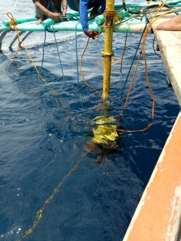
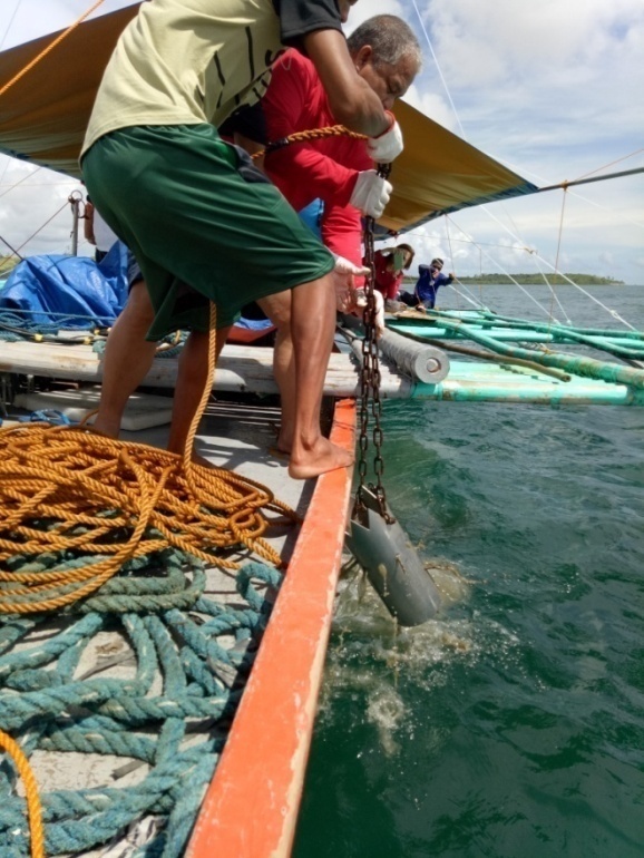
Bathy 2010 sub-bottom profiler anchored on the starboard side of the survey platform
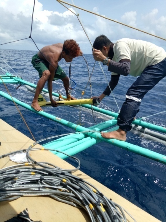
Deployment of the Aquascan side-scan Sonar in order to see images of the seafloor
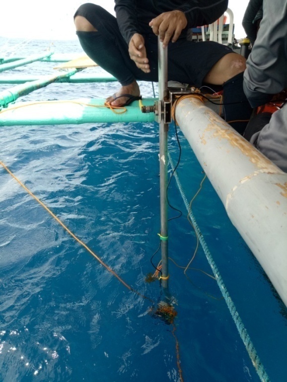
Single beam echo sounder used to determine the depth of the seafloor
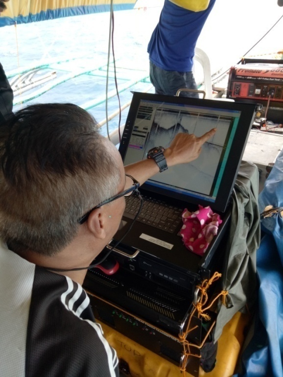
Collection and interpretation of seismic data on board the survey platform
Sediment grab sampler for the collection of samples in the offshore area