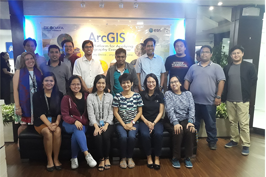
In order to empower and strengthen the competence of DENR personnel in the integration of spatial information with Environment and Natural Resources (ENR) data and statistics, and the development of the DENR Control Map, the Mines and Geosciences Bureau (MGB) participated in the 2019 Training on ArcGIS Pro: Essential Workflows held at the Strata Building, Ortigas, Pasig City on March 11-13, 2019.
The MGB was represented by Mr. Mark Carlo H. Cruz, Computer Programmer from the Mineral Economics, Information and Publications Division (MEIPD), and was joined by the representatives from the member-agencies of various DENR Statistical Working Groups, bureaus and attached agencies.
The training, initiated by the DENR, is part of the services provided by Geodata Systems Technologies, Inc. with the ArcGIS enterprise which the department procured.
This training course also introduced techniques and general best practices to map, manage, analyze, and share data and other GIS resources. Hands-on exercises were given to the participants for them to experience the needed knowledge to efficiently work with ArcGIS Pro.
It also served as a venue for the attendees to learn about the following modules:
- Getting started with ArcGIS Pro
- Creating geodatabase data Using Model Builder for data conversion
- Visualizing data, Adding text to the map, Visualizing data in 3D
- Create features from tabular data, Relating tabular data
- Creating new features
- Modifying existing features
- Using Model Builder for analysis
- Sharing a static map
- Sharing dynamic maps