
The Lands Geological Survey Division (LGSD), thru the efforts of the Lands Geological Information Management Section (LGIMS), organized an in-house training program on Basic and Advanced Geographic Information System (GIS) using ArcGIS for both technical and non-technical personnel of LGSD. The event was held on January 20 to January 24, 2020 at the LGSD Multi-Purpose Room.
The training program was aimed at providing the participants with the latest and relevant knowledge on GIS to effectively and efficiently perform their designated tasks. It served as a venue to instruct the participants of the current GIS platforms, databases, and applications that the LGIMS customized itself in the anticipation of fully utilizing and applying these recent innovations in their respective activities and projects.
The implementation of the said GIS training was split into two phases – the Basic and Advanced courses. The first three days of the program were dedicated to the former while the last two days to the latter. The Basic course commenced with an introduction to GIS, ArcMap Interface familiarization, MXD (Map Exchange Document) and setting data source, georeferencing, editing and schema, displaying vector and raster data, geoprocessing tools, and creating a map layout. Successively, the Advanced course focused more on handling and managing geodatabases of all different projects undertaken by LGSD. ArcGIS Enterprise, ArcGIS Online, and access to MGB GIS Network Attached Storage (NAS) were initially presented to the participants, which are new and quite ground-breaking in respect to the present geological data management practices of the LGSD.
A synthesis of the week-long training program was presented on the last day by Ms. Carleen Joy T. Gatdula, Senior Science Research Specialist and Mr. Federico C. Jacoba, Jr., Senior Geologist of LGIMS, regarding all topics and hands-on skills imparted to both Basic and Advanced courses.
By: Lands Geological Survey Division
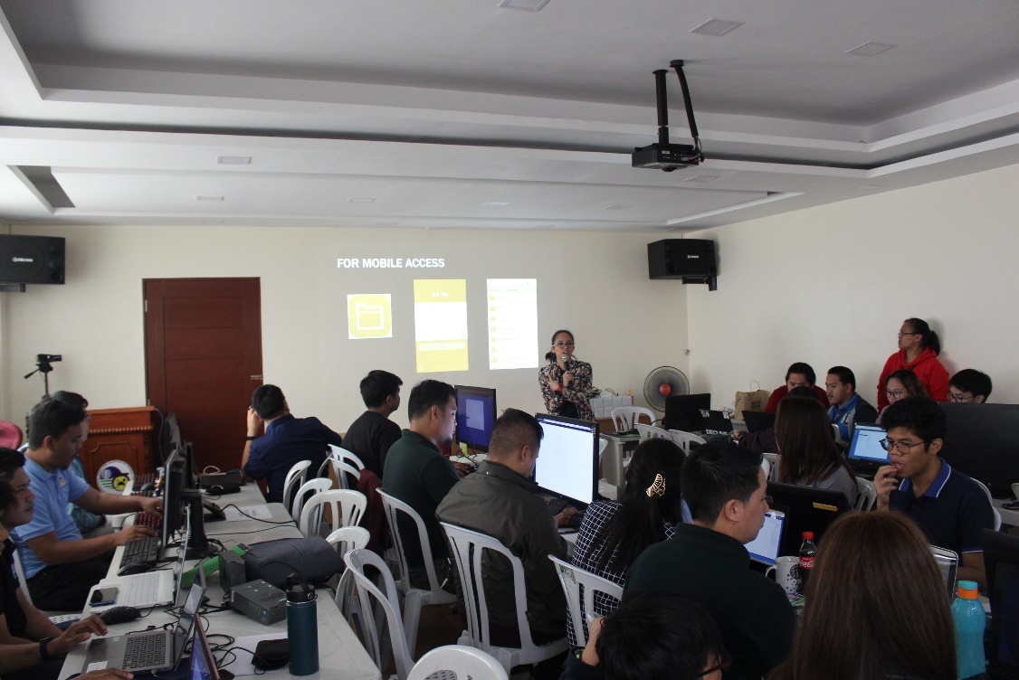
Participating personnel during the Advanced GIS training. Senior SRS Carleen Joy T. Gatdula acquaint the participants with the MGB GIS NAS.
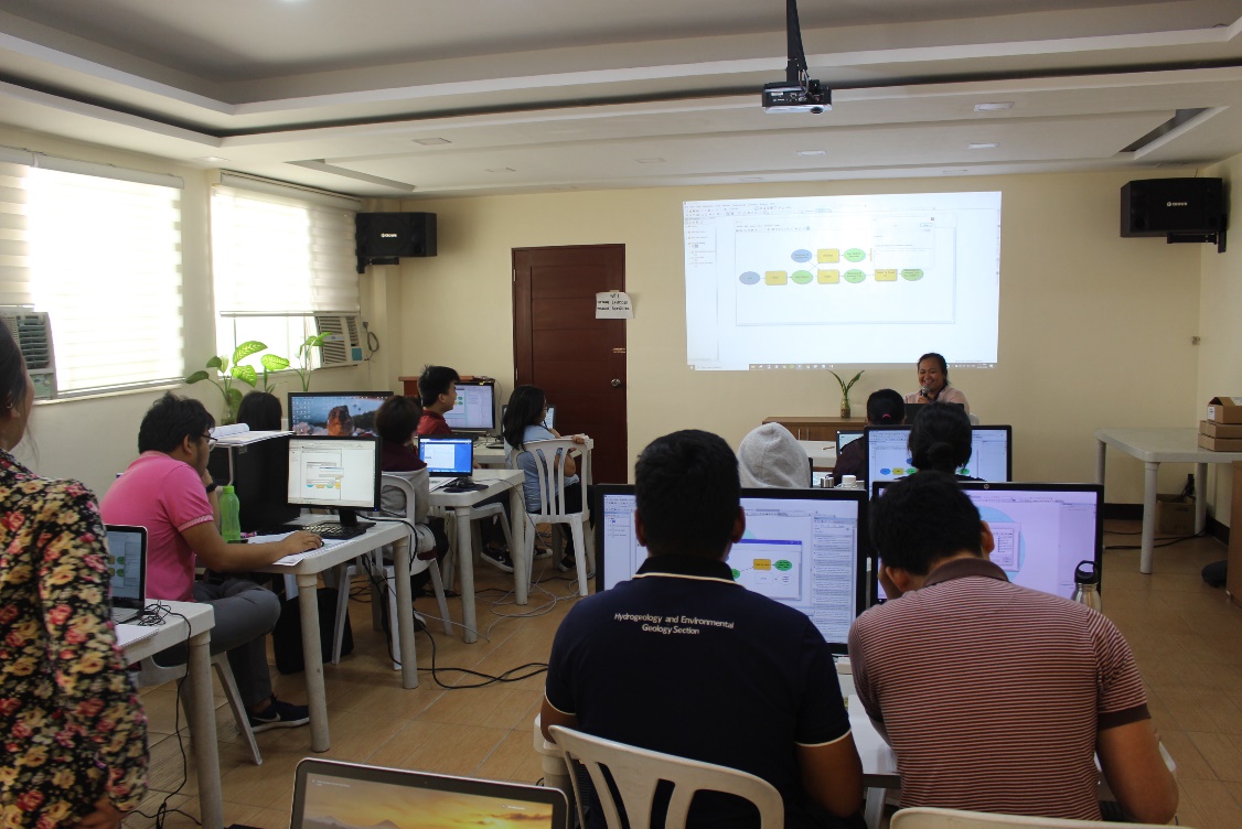
GIS Specialist Annie M. Bandong presents how to utilize the model builder feature of ArcMap to the LGSD personnel attending the Basic course.