A decade and a half after, the National Geohazard Assessment and Mapping Program (NGAMP) thrives at the forefront of the country’s disaster risk reduction and management (DRRM) endeavors.
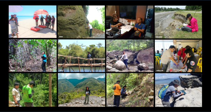
The Department of Environment and Natural Resources - Mines and Geosciences Bureau (DENR - MGB) has been contributing to geologic hazards studies since the 1960s. However, following a series of large events such as the Cherry Hills Landslide Incident, Panaon Landslide, and Guinsaugon Landslide, it was in 2005 that such undertaking was formalized through the NGAMP. The program started with the generation of 1:50,000-scale Geohazard Maps for all 1,634 cities and municipalities nationwide within 2006 to 2010 and carried on to 1: 10,000-scale Detailed Rain-induced Landslide and Flood Susceptibility Maps from 2011 to 2014. By 2015, as a consequence of the 2013 7.2-Mw Bohol Earthquake, the program was expanded to include the Karst Subsidence Hazards Assessment and Mapping to address the threat of ground subsidence due to sinkhole collapse. This project, which focuses on cities and municipalities that are primarily underlain by carbonates that form karst landscapes, employs a non-invasive geophysical survey using the Ground Penetrating Radar (GPR) system. In the same year, the Vulnerability and Risk Assessment (VRA) project, which would eventually entail the updating of 1: 10,000-scale susceptibility maps, was implemented. This applies a Risk Exposure Assessment (REA) methodology to consider the limitations and functions of the MGB while still contributing to the DRRM efforts in the local context. Other components of the program include the intensive Information, Education, and Communication (IEC) campaign for each project and the dissemination of the generated maps to various stakeholders. Technical assistance through geohazard assessments have also been provided by MGB Geologists from the Central (CO) and Regional Offices (RO) in areas directly affected by disasters such as the devastation brought about by Super Typhoon Yolanda in 2013, the Naga City Landslide Incident as well as the Itogon Landslides in 2018, and the effects of the Cotabato earthquakes in 2019.
On top of these, with the guidance of the DENR Administrative Order 2000-28, the Executive Order No. 45 (2001), and the MGB Memorandum Circular No. 2002-43, the Geohazard and Engineering Geology Section (GhEGS) that is previously called the Urban Geology Section provides relevant services ranging from the review of Engineering Geological and Geohazard Assessment Reports to site-specific geohazard assessments and to the issuance of Geohazard Certifications based on existing maps and reports. Moreover, the MGB has been an active member of the National Disaster Risk Reduction and Management Council (NDRRMC). As part of its duties to the council, the Bureau continually identifies areas that are highly susceptible to landslides and floods that may be brought about by severe hydro-meteorological conditions by providing appropriate listings for appropriate dissemination.
Over the years, the program has significantly contributed to Filipino communities in reducing the possible impacts of geologic hazards by promoting awareness and capacity-building on such phenomena, the assessments and generated maps and reports. Fifteen years since, through and beyond the Coronavirus Disease 2019 (COVID-19) pandemic, MGB Geologists throughout the country continue and will strive to deliver timely hazard information to various stakeholders with the regular updating of susceptibility maps and its transition into landslide and flood hazard
maps. Lastly, developments and improvements can also be expected as the MGB, spearheaded by GhEGS of the MGB-CO, partners with other institutions for research collaborations and future projects. These include the UP Catchment Project, Project LIGTAS 2 with UPLB, SCARP and FRAMER Projects with Mapua University, the Green Climate Fund Project: Multi-Hazard Impact-Based Forecasting and Early Warning System with PAGASA and LANDBANK, and the GeoRiskPH Initiative with PHIVOLCS. These researches are aimed to enhance the current geohazard studies under the mandate of the MGB.
By: Geohazard and Engineering Geology Section, Lands Geological Survey Division