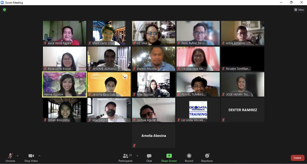
Geodata Systems Technologies, Inc. (GSTI) continues their program for information technology (IT) specialists with a two-day online training held last April 12-13, 2021. The training on Managing Geospatial Data in ArcGIS (GDAT) was conducted via Zoom and instructed by Ms Hanna Camille Aguilon, Geographic Information Systems instructor, Training and Technical Support Division, GSTI.
IT specialists from the Mines and Geosciences Bureau’s Mineral Economics, Information, and Publication Division participated in the program once more. This course focuses on an in-depth exploration of the geodatabase, which is the native data storage format for the ArcGIS software. Best practices to design a geodatabase to centrally store and efficiently manage an organization’s authoritative geospatial data are also covered.
Upon finishing the course, the participants are expected to achieve the following: 1) Create a geodatabase, explore schema options, and evaluate appropriate data models; 2) Add data to a geodatabase, edit feature geometry and attributes, and create a mosaic dataset to store and disseminate imagery; 3) Define data rules and relationships to simplify data editing and ensure data integrity; and 4) Configure access to an enterprise geodatabase and create a versioned feature class to allow multiple concurrent editors.
Similar to the previous training held last April 8, 2021, a pre-assessment and post-assessment exam were held before and after the training respectively. The event formally closes after a training evaluation and graduation, as well.
By: Mineral Economics, information, and Publication Division

Participants during the online training course via Zoom.
