
Geological mapping is a core function of the Mines and Geosciences Bureau (MGB) ever since mid-1950s. However, due to traditional geological methods, it has only generated and published around 50% of the total number of geologic maps of the entire Philippine Archipelago. In 2016, it has implemented a new and systematic Geologic Quadrangle Mapping in 1:50,000 scale utilizing innovative approaches such as application of Geographic Information System (GIS) technology which transformed digital field data collection, processing, editing, analysis, and mapping within the capabilities of almost everyone. To espouse digital revolution in geological mapping, the Lands Geological Information Management Section (LGIMS) in collaboration with the General Geology Section (GGS) of the Lands Geological Survey Division (LGSD) conducted a virtual three-day Geological Digital Publication Training via Microsoft Teams last April 5 to 7, 2021. It was participated by Geologists and GIS Specialists from MGB Central and Regional offices involved in the Geologic Quadrangle Mapping Project (GQMP).
The technical reports and maps of GQMP will generate information that is crucial for environmental protection, land use planning, disaster risk reduction and management, and will also be essential to the development of the country’s rich mineral, energy, and water resources. The training further established the standard methodology on lay-outing of 1:50,000 scale geologic maps for GQMP. It involved comprehensive lectures and demonstrations on basic and advanced standard map symbols and elements; harvesting information with the use of attribute table; generating cross-section; lay-outing geologic maps; using FieldSurvey123 application for data field collection, and; using the Quality Assurance (QA)/Quality Control (QC) and monitoring dashboard for systematic review and monitoring of the National Geological Mapping Program.
During the final day, the participants were able to submit their hands-on activity outputs through ArcGIS multi-user platform and Network Attached Storage (NAS). An open forum on workshop synthesis and future activities under GQMP also transpired.
Dr. Maybellyn A. Zepeda, OIC-Chief, LGSD, ended the training on a grateful note commending the efforts of the personnel from LGIMS and GGS for painstakingly organizing the training despite the heightened restrictions of movement due to the latest surge of COVID-19 cases in the country’s capital. She also encouraged similar trainings to be organized for other geoscience programs of LGSD in order to fully capacitate all MGB geologists with the latest technology in order to generate robust geologic data.
By: Lands Geological Survey Division
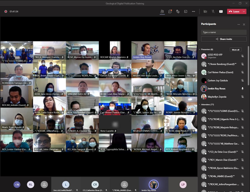
Geologists and GIS Specialists from the MGB Central Office and Regional offices during the virtual three-day
Geological Digital Publication Training via Microsoft Teams held last April 5 -7, 2021