
The Philippines is home to world-famous karst landscapes, which are renowned for their unique beauty and rich biodiversity. These karst areas have become popular tourist attractions in recent years, resulting in considerable growth in the tourism industry. Furthermore, karst provides valuable resources such as groundwater and guano deposits. However, because these landscapes are sensitive and vulnerable to degradation, it is critical to safeguard and understand these natural treasures.
The Department of Environment and Natural Resources – Mines and Geosciences Bureau (DENR-MGB) launched the Climate-responsive Karst Management for Sustainable Tourism in the Philippines, also known as the PhilKARST Program, on March 1, 2021, with funding from the Department of Science and Technology – Philippine Council for Industry, Energy, and Emerging Technology Research and Development (DOST-PCIEERD). The overall goal of the program is to assist local governments in managing vulnerable karst areas by integrating climate-change adaptive research to develop science-based policies and management strategies. The pilot areas for the program will be the municipalities of El Nido, Palawan, and General Luna and Del Carmen, Siargao Island, two of the country's key tourist sites.
While MGB has started Karst Subsidence Hazards Assessment in 2015, the project is only focused on the identification of areas susceptible to sinkhole collapse and subsidence. To reinforce a holistic approach to karst management and protection, the PhilKARST Program will apply karst geology, geomorphology, hydrogeology, and hazard modelling in its implementation. The program is divided into two components, namely, Project 1: Influence of Surface and Subsurface Processes in Karst Degradation and its Impacts on Sustainable Tourism, and Project 2: Integrated Characterization, Quantitative Assessment, and Statistical Modelling for Geologic Hazards in Karst Landscapes in the Philippines.
Project 1 is a multi-disciplinary approach in identifying critical areas for karst degradation in tourist sites, which will consider geological, geomorphological, and hydrogeological factors based on results of baseline surveys such as geological mapping, remote sensing, and hydrochemical analysis. On the other hand, Project 2 aims to quantify the correlation of environmental and anthropogenic factors to the occurrence or absence of karst hazards, which will be done through hazard assessment of study areas aided by statistical, landslide, and flood modelling.
Despite the obvious benefits of emerging tourism in karst landscapes, a paradigm shift focused on the environmental and socio-cultural dimensions of sustainability is essential across all levels of government and stakeholders involved. With the purpose of advancing long-term sustainable tourism development in the country, the PhilKARST Program seeks to establish a middle ground between protecting the karst environment and harnessing its full potential.
By: Lands Geological Survey Division
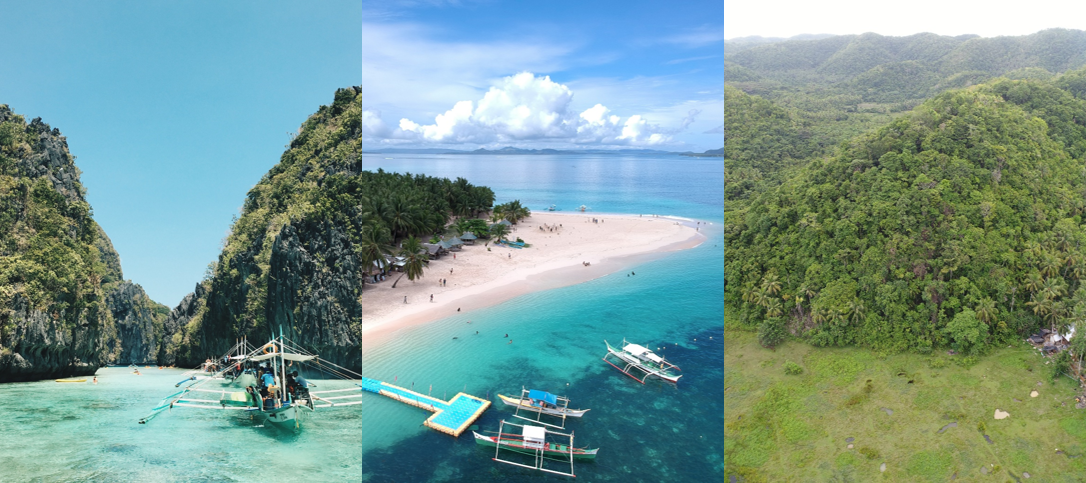
Examples of Karst Topography (From left to right: El Nido, Palawan; Siargao Island; Karst Cones).
Sources: pexels.com, pexels.com, LGSD.