
Geologists from the Mines and Geosciences Bureau (MGB) Central and Regional Offices underwent a three-day seminar/workshop on basic coastal geology and sedimentology designed to strengthen the implementation of the Coastal Geohazards Survey and Assessment Project of the agency.
Organized by the Marine Geological Survey Division (MGSD), the seminar/workshop was participated in by 61 geologists involved in the project implementation.
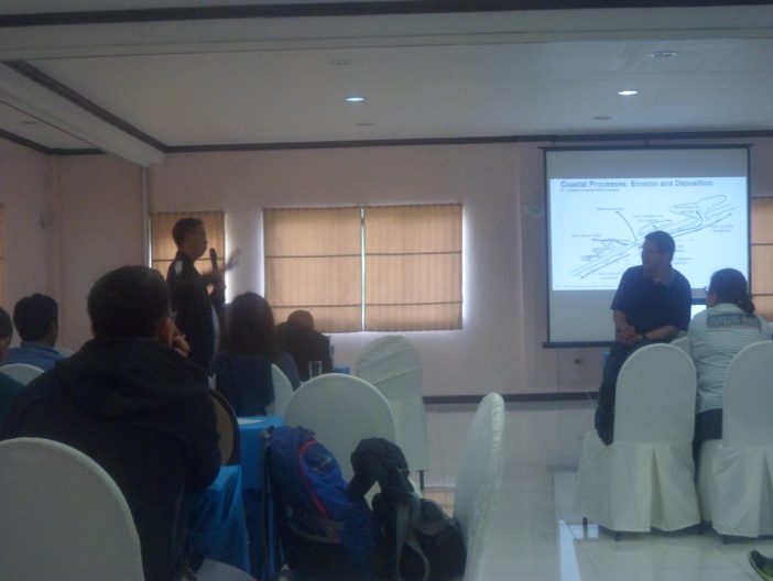
Dr. Joselito P. Duyanen, Professor at the National Institute of Geological Sciences, University of the Philippines, discussed the topic Sedimentary Structure and Sedimentology in connection with the Assessment and Monitoring of Coastal Environment. The techniques on the preparation of shift, coastal erosion and accretion maps were also discussed.
During the Workshop, presentations were made and discussions were conducted on the targets and accomplishments of the Central Office and the Regional Offices. Various issues and concerns in the conduct of the said project were also discussed.
As an offshoot, a paradigm shift was agreed upon by the participants to specifically guide them in the delineation of segments of the coast that are critically affected by coastal erosion and accretion. This consists of utilizing a Digital Shoreline Analysis System (DSAS), a processor software that computes rate-of-change statistics from multiple historic shorelines, which is a relevant output in the final preparation of Coastal Shift Map.
By: Marine Geological Survey Division (MGSD)
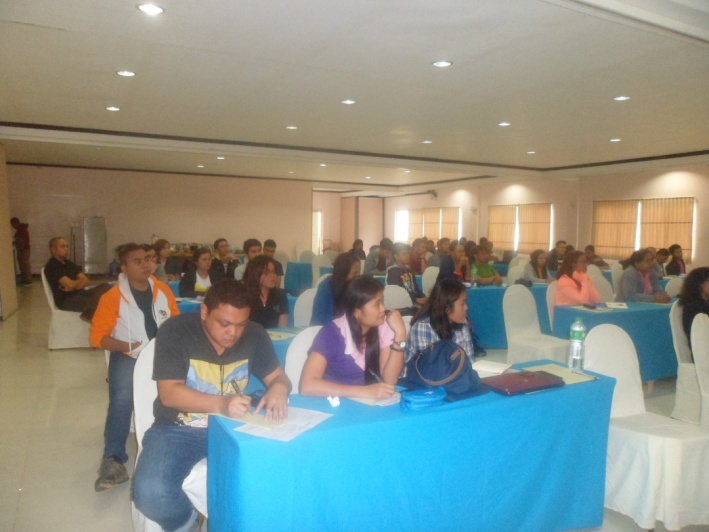
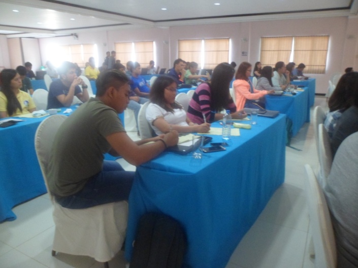
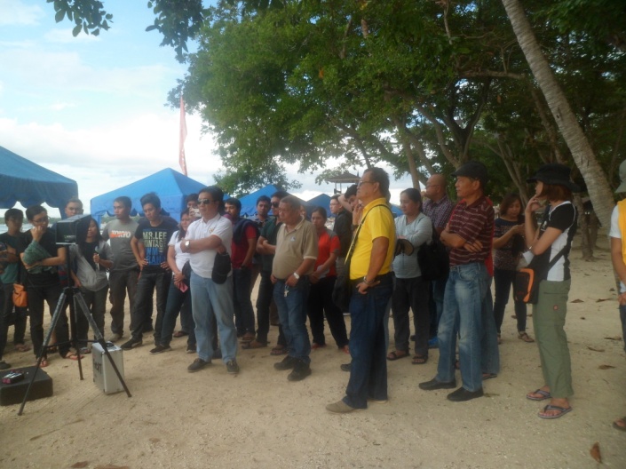
Geologists from different MGB Regional Offices including technical personnel from MGB Central Office listen intently on the lectures presented during the Seminar/Workshop.
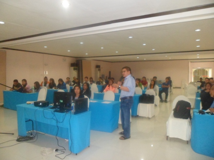
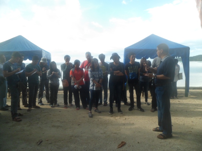
Dr. Joselito P. Duyanen (standing-left photo) , Geologist/Geochemist and currently Professor of National Institute of Geological Sciences (NIGS), discusses the importance of sedimentology and geology to Coastal Geogazard Assessments. Dr. Duyanen is the invited Resource Speaker on the four-day Seminar/Workshop which is aimed on capability enhancement of technical personnel involved in the conduct of Coastal Geogazard Assessments.
The actual flight demonstration of the drone, a small unmanned aircraft that captures images and subject for computer processing to create orthorectified and georefernced mosaic . Mapping of hard-to-reach areas will be resolved with the use of this new technology.