
The Marine Geological Survey Division (MGSD) of the Mines and Geosciences Bureau (MGB) Central Office (CO) conducted the “Seminar-Workshop on Digital Shoreline Analysis System (DSAS) and other Techniques in Coastal Geohazard Mapping.”
The Seminar-Workshop was attended by geologists and IT personnel of the MGB Central and Regional Offices.
Aimed at enhancing and developing the skills of the participants, the Seminar-Workshop was geared toward coastal geohazard mapping, production of coastal accretion and erosion maps applying ArcGIS and DSAS.
The DSAS enhances the application of ArcGIS software in calculating the historical rate of erosion and sedimentation in coastal areas.
This technique is also useful in analyzing rate-of-change and areal shifts of coastlines thru time.
Engr. Marcelo Alilio of the MGSD, MGB CO gave lectures on the basics of Map Coordinate System, digitization of old shorelines and Google Earth shorelines, GPS data implementation and creation of polygons. The main focus is the lecture on the detailed application of the DSAS in generating standard maps for the Coastal Geohazard Assessment Project.
Issues and concerns regarding the implementation of the Project, particularly on Coastal Geohazard Map production, and other field interpretations were addressed.
The Seminar-Workshop was held last October 24-27 at the Atrium Hotel in Pasay City.
By: Marine Geological Survey Division
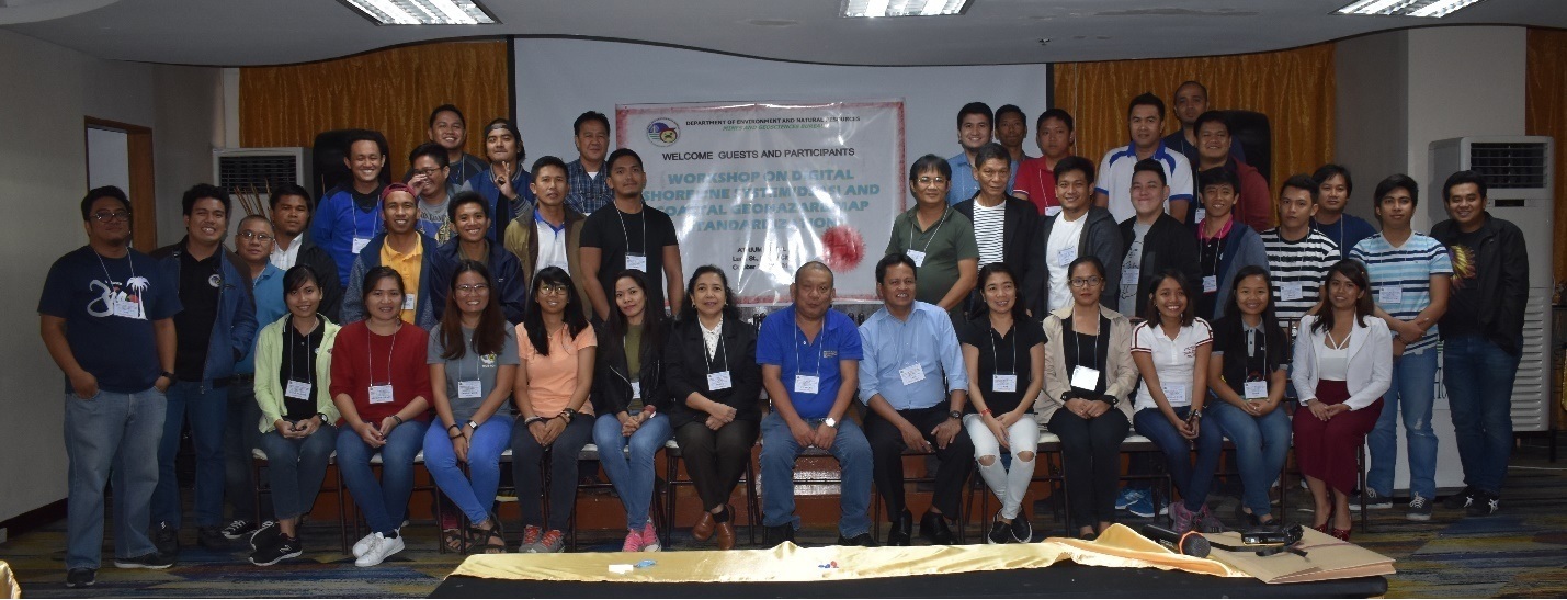
The participants in the Seminar-Workshop on DAS and other Techniques in Coastal Geohazard Mapping held at Atrium Hotel, Pasay City.